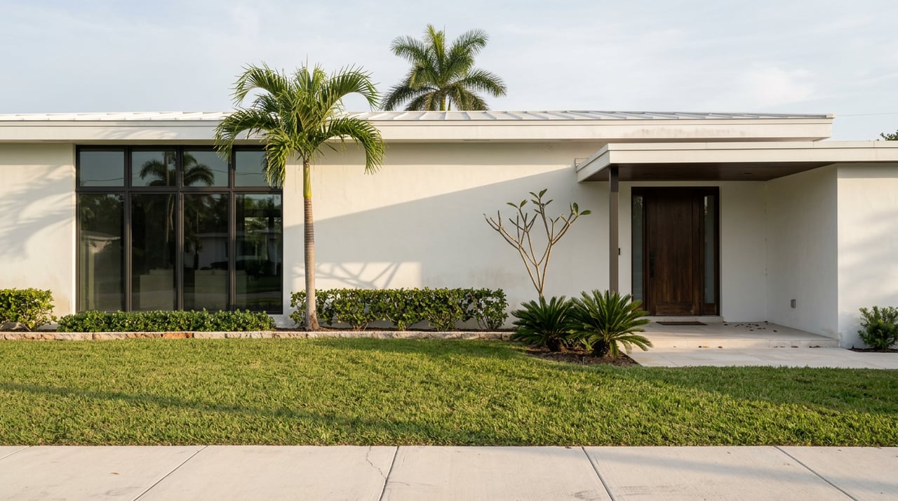
In New Town, the Sidewalk Does More Work Than the Beach
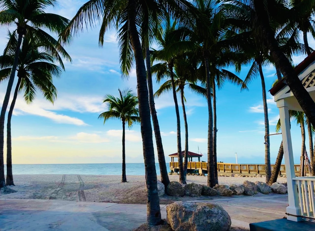
Walk a dog along South Roosevelt Boulevard on an ordinary morning and you notice something particular. Nearly everyone moving past you is on the pavement, not the sand. That is not a coincidence of foot traffic. It is the rule. Dogs are barred from the sand at Smathers Beach, but they are welcome on the sidewalk that runs its full length. One line in the beach rules quietly turns a strip of concrete into one of the busiest shared spaces on this side of the island, busier most mornings than the beach it borders.
That detail points to something bigger about how this neighborhood actually works. New Town does not organize its daily life around a single destination the way Old Town organizes around Duval Street or Truman Annex organizes around its own gates. It organizes around a spine, a connected run of streets and paths that residents move through without ever quite naming the whole route. Understand that spine, and you understand what makes this stretch of the island tick day to day. And right now, part of it is being tested for change.
Start on Duck Avenue, deep in New Town's residential blocks, and the route unfolds naturally from there. Duck runs parallel to Flagler Avenue through the heart of the neighborhood, and along it sits Poinciana Plaza, the small retail strip that functions as New Town's everyday errand run. Follow Duck east toward the water and it lands at South Roosevelt Boulevard, where the paved path along Smathers Beach picks up. That path runs the length of the beach, roughly half a mile of open shoreline, then continues past the Salt Ponds, a series of shallow brackish ponds bordered by about a mile of paved trail where herons, egrets, and the occasional roseate spoonbill wade in plain view. The same corridor eventually links into the Florida Keys Overseas Heritage Trail, the long-distance bike route that ties this stretch of New Town pavement into a much larger network running toward Old Town in one direction and Stock Island in the other.
None of this reads as a park in the traditional sense. It reads as connective tissue, a run of streets and paths that turn a retail plaza, a beach, and a birdwatching trail into one continuous loop. For a resident with a dog, a bike, or just a standing habit of an early walk, that loop is the neighborhood's real commons, more so than any single landmark marked on a map.
Duck and Flagler are not incidental streets. They are the parallel pair that most of New Town's residential blocks are built around, and Poinciana Plaza sitting on Duck is the clearest sign of how much daily life actually runs along that spine rather than any single park or beach. It is where the errands happen. It is also, as it turns out, exactly where the city has chosen to test what a calmer version of New Town's streets might look like.
The Crosstown Greenway is a designated bicycle route and Neighborhood Greenway named in the city's 2013 Comprehensive Plan and its 2019 Bicycle Pedestrian Master Plan. The route begins at Reynolds and Von Phister, just over the line in the Casa Marina neighborhood, and runs into New Town along a path parallel to Flagler Avenue before ending at Duck Avenue and South Roosevelt Boulevard, a corner that sits squarely in New Town's own residential core, a few blocks from where the Smathers Beach path picks up.
The city has moved this plan from paper to pavement. According to the Crosstown Greenway Pilot Project page, Key West is running a six-month phased pilot along the corridor, using Tactical Urbanism, meaning temporary, low-cost materials deployed to test a design before committing to permanent construction. The project is a partnership with Street Plans, the urban planning firm credited with originating that approach. A few specifics worth knowing if this route touches your daily commute:
What makes this worth watching is where the route lands. It starts outside New Town, in Casa Marina, but its entire eastern half runs through the same blocks that already feed Duck Avenue, Poinciana Plaza, and the Smathers Beach path. If the pilot holds and eventually becomes permanent, New Town's own residential spine gets a calmer, slower companion route, one that also ties the neighborhood a little more closely to Casa Marina at its western end.
None of this reads as a retail plaza, a beach path, and a road project sitting next to each other by coincidence. It reads as a single system. The dog-walking sidewalk along Smathers, the Salt Ponds path with its wading birds, the daily errand run down Duck Avenue past Poinciana Plaza, and now a city-backed effort to test calmer streets running parallel to Flagler all connect into the same loop that residents already trace without thinking about it as a loop.
That is the thing worth holding onto if you already call New Town home. The neighborhood's daily rhythm has never really been about a single landmark. It has been about the streets and paths that link everything together, and this year one stretch of that network is being tested for a bigger role than it has ever had before. Whether the Crosstown Greenway pilot becomes permanent will say a lot about how much quieter, and how much more connected, this side of the island gets from here.
If you are watching how New Town changes, block by block and path by path, that is exactly the kind of local detail worth keeping an eye on. For anything real estate related, from how a project like this might touch a specific address to broader questions about the neighborhood, Lori Langton is always glad to talk it through. Schedule a free consultation whenever the timing is right for you.

I feel extremely blessed to call Key West my home, and I love helping others make their real estate sale or purchase a pleasant, productive and profitable one.
LORI LANGTON
Luxury Collection Specialist
(305) 923-1685
[email protected]
336 Duval Street
Key West, FL 33040