
Preliminary Flood Maps for Monroe County’s Sugarloaf Key
Is your Sugarloaf Key home showing up differently on the new FEMA flood maps? You are not alone if you are unsure how that affects insurance, future renovations, or a sale. In a few minutes, you will understand what changed, what it could mean for your property, and the smart steps to take now. Let’s dive in.
FEMA released preliminary coastal Flood Insurance Rate Maps for Monroe County in 2019. The County reviewed the study, filed technical appeals, and built a public comparison tool so you can see current, preliminary, and appeal views side by side. You can explore those updates using the County’s Flood Map Comparison Application on the Monroe County flood‑mapping page. Start with the County’s flood map page.
Some panel-level changes are already finalized by FEMA, while others may still be in progress. Lenders and insurers rely on the map that is officially effective for your address. To confirm what applies today, check your address on the FEMA Map Service Center.
New maps can move properties into or out of Special Flood Hazard Areas and adjust Base Flood Elevations. If your structure is placed in an A, AE, or V zone, a lender on a federally regulated mortgage will usually require flood insurance. BFEs also drive building standards, including minimum finished-floor heights and enclosure rules. Learn more on the Monroe County flood‑mapping page.
FEMA’s Risk Rating 2.0 bases NFIP premiums on your property’s specific risk, not just the zone. Factors like elevation, distance to water, frequency and type of flooding, and replacement cost all matter. A zone change may affect whether a policy is required, but the premium depends on your building details. For guidance and quotes, review the County’s overview and speak with your insurer using the Monroe County NFIP page.
Note: Monroe County participates in FEMA’s Community Rating System. The County’s strong CRS rating provides premium discounts for NFIP policyholders, which can help offset costs. See the County’s CRS information here: Community Rating System.
When new BFEs take effect, the County will apply them to building permits, substantial improvements, and substantial damage repairs. Residential projects typically must meet or exceed BFE, and Monroe County enforces additional local requirements such as freeboard and strict rules for spaces below elevated homes. Review the County’s Building Requirements and the floodplain management code for details on enclosures and elevation standards in Chapter 122. You can read the code here: Monroe County Floodplain Management Code.
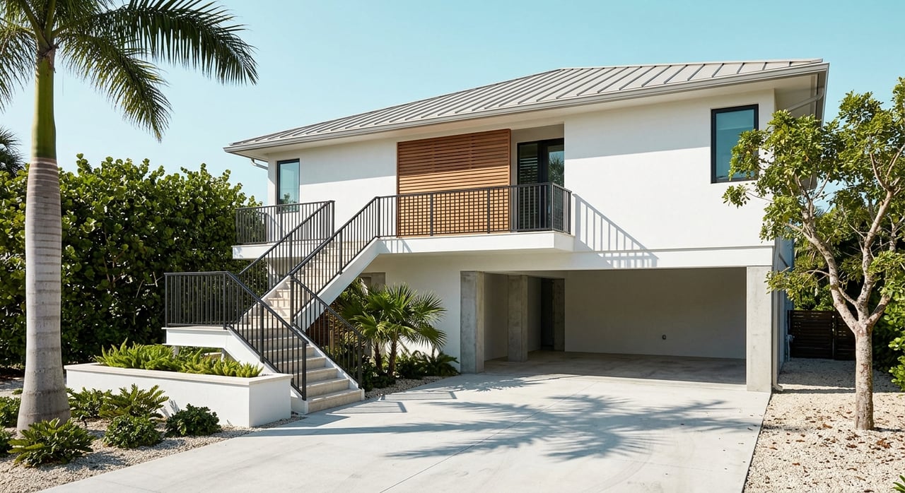
Sugarloaf Key homes often have ground-level enclosures below BFE. Monroe County limits how these spaces can be used and finished, and the Transfer of Ownership program may require inspections at sale. Plan time to verify permits and address any noncompliant work before listing. For context on recent discussions, see this County-related workshop notice on downstairs enclosures.
Sea-level rise is a long-term reality in the Keys. Regional planning guidance projects noticeable sea-level increases over the coming decades, which influence both FEMA’s coastal modeling and local infrastructure decisions. Staying informed and investing in elevation or floodproofing can protect your property and improve insurability over time. For context, review regional projections from the Southeast Florida Climate Compact.
If you are weighing improvements, a sale, or a purchase on Sugarloaf Key, you deserve a calm, clear plan tailored to your property. For confidential guidance and a local perspective that blends market insight with practical permitting know-how, connect with Lori Langton.


I feel extremely blessed to call Key West my home, and I love helping others make their real estate sale or purchase a pleasant, productive and profitable one.

LORI LANGTON
Luxury Collection Specialist
(305) 923-1685
[email protected]
336 Duval Street
Key West, FL 33040